
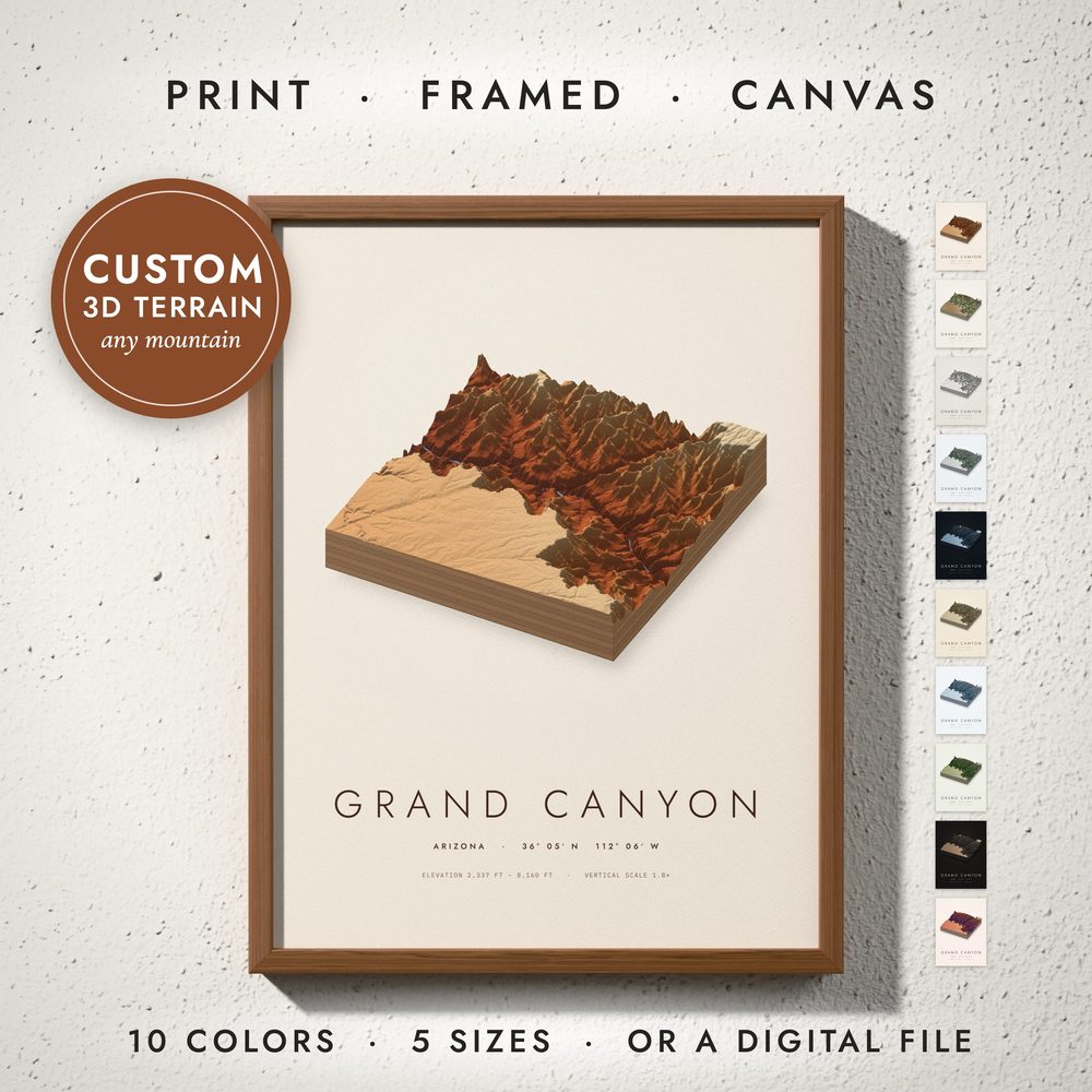
No. 068 · Mountain, Lake & Coast Maps
3D Terrain Map
Any mountain, canyon or lake as a scale model: the real terrain raised into a block, lit from the north-west and colored by height, with layered sides and a soft shadow on the paper.
- Real elevation, raised just enough to read, with the vertical scale printed
- Seen from the south-west, the south-east or straight from the south
- Colored by height from the valley floor to the peaks, with its lakes and rivers
- The name, the region, the coordinates and the elevation range
- Any mountain, canyon, valley or lake in the world
Digital download. You receive print-ready files; no physical item is shipped. Frames in the photos are not included.
Ten colors
- 1 · Canyon
- 2 · Natural
- 3 · Clay Model
- 4 · Alpine
- 5 · Midnight
- 6 · Vintage
- 7 · Glacier
- 8 · Forest
- 9 · Volcanic
- 10 · Sunset
What you get
Five high-resolution JPG files at 300 DPI, one for every standard frame ratio.
| File | Ratio | Print sizes | Pixels |
|---|---|---|---|
| 1 | 2:3 | 4×6 to 24×36 in · 20×30 to 60×90 cm | 7200 × 10800 |
| 2 | 3:4 | 6×8 to 24×32 in · 30×40 to 60×80 cm | 7200 × 9600 |
| 3 | 4:5 | 4×5 to 24×30 in · 40×50 cm | 7200 × 9000 |
| 4 | 11:14 | 11×14 and 22×28 in | 6600 × 8400 |
| 5 | ISO | A5 to A1 · 50×70 cm | 7016 × 9933 |