
No. 067 · Mountain, Lake & Coast Maps
Farm & Land Map
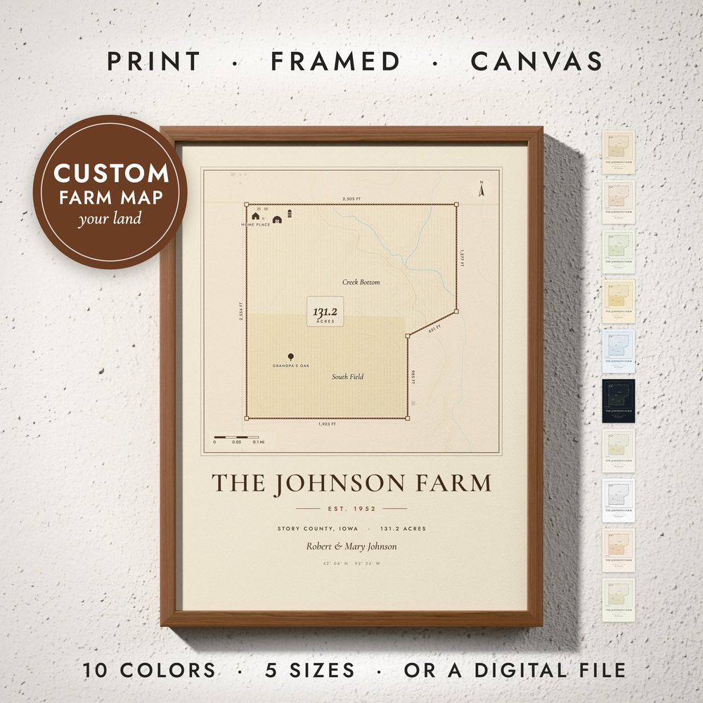
Your land drawn like an old survey plat: your boundary with every side measured, the acreage in the middle, fields, creeks and contour lines around it, and the house, barns and silos that make it home.
- Your boundary from a sketch, a map link, a KML file or corner coordinates
- Every side measured in feet and the acreage worked out for you
- Fields, woods, creeks, ponds, roads and contour lines around your land
- Your marks: house, barn, silo, windmill, pond, gate, trees and field names, with your family name and the year
- Farms, ranches, vineyards, homesteads and hobby farms
Digital download. You receive print-ready files; no physical item is shipped. Frames in the photos are not included.
Ten colors
- 1 · Heritage
- 2 · Barn Red
- 3 · Prairie
- 4 · Harvest Gold
- 5 · Survey Blue
- 6 · Midnight
- 7 · Wheat & Sage
- 8 · Black & White
- 9 · Autumn
- 10 · Olive
What you get
Five high-resolution JPG files at 300 DPI, one for every standard frame ratio.
| File | Ratio | Print sizes | Pixels |
|---|---|---|---|
| 1 | 2:3 | 4×6 to 24×36 in · 20×30 to 60×90 cm | 7200 × 10800 |
| 2 | 3:4 | 6×8 to 24×32 in · 30×40 to 60×80 cm | 7200 × 9600 |
| 3 | 4:5 | 4×5 to 24×30 in · 40×50 cm | 7200 × 9000 |
| 4 | 11:14 | 11×14 and 22×28 in | 6600 × 8400 |
| 5 | ISO | A5 to A1 · 50×70 cm | 7016 × 9933 |