
No. 021 · Sport & Hobby Maps
Ski Resort Map
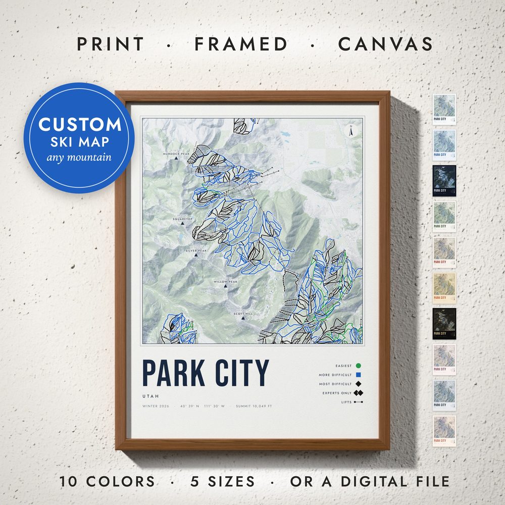
Your mountain run by run: every trail in its difficulty color, every lift with its towers, the named peaks and real shaded relief.
- Every run colored by difficulty: green circle, blue square, black diamond and double black
- Lifts with their towers, the named peaks with their elevation, and run names
- Real shaded relief and forests from elevation data
- A trail-sign legend, your season and the summit elevation
- Any ski area in the world that is mapped run by run
Digital download. You receive print-ready files; no physical item is shipped. Frames in the photos are not included.
Ten colors
- 1 · Alpine White
- 2 · Glacier Blue
- 3 · Midnight Snow
- 4 · Pine & Snow
- 5 · Après Red
- 6 · Retro Ski
- 7 · Black & Gold
- 8 · Powder Blush
- 9 · Slate
- 10 · First Light
What you get
Five high-resolution JPG files at 300 DPI, one for every standard frame ratio.
| File | Ratio | Print sizes | Pixels |
|---|---|---|---|
| 1 | 2:3 | 4×6 to 24×36 in · 20×30 to 60×90 cm | 7200 × 10800 |
| 2 | 3:4 | 6×8 to 24×32 in · 30×40 to 60×80 cm | 7200 × 9600 |
| 3 | 4:5 | 4×5 to 24×30 in · 40×50 cm | 7200 × 9000 |
| 4 | 11:14 | 11×14 and 22×28 in | 6600 × 8400 |
| 5 | ISO | A5 to A1 · 50×70 cm | 7016 × 9933 |